Showing posts with label mountain range. Show all posts

Tuesday, June 6, 2017

RECENT MAGICAL sunset


A RECENT SUNSET.
MAGICAL.
MOUNTAIN LOOKS NICE HERE, BUT IT'S GETTING VERY POPULATED.
I'LL HAVE TO SHOW YOU A
BEFORE (WHEN I STARTED)  vs
THE SCULPTED MOUNTAIN FORESTS of TODAY.

Tuesday, January 12, 2016

RAINBOWS!

A few days ago we had warmer than normal temps, with rain.
just before a cold front moved in.

I saw TWO BEAUTIFUL RAINBOWS, one late morning:


 Then we got back on the road. Dramatic clearing clouds in the sky while passing Wilkes-Barre.


 Early afternoon, here's ANOTHER rainbow!
Views from our backyard. 


The entire arch touches down in front of the mountains on the west side of the Susquehanna River.


Monday, July 28, 2014

sunset last night

A lovely #sunset last night.
8-15pm, shortly before a thunderstorm, bringing in a coldfront.
Very humid. 
There are thunderstorm warnings for all surrounding counties.
LOVE those rays.

the sun is disappearing.
This is a few minutes later. 


Friday, June 6, 2014

mountain and sky

BEAUTIFUL SUNSETS

in my backyard

On the Wilkes-Barre area side of the Susquehanna River looking west to the mountain range beyond the river and Kingston/Forty Fort, towards the back mountain (Dallas, Shavertown, Trucksville). The deep dip in the mountain range is where the CrossValley (Rt 309) cuts up and through on its way "North".
map of the area
a few days ago


and a few days before that
a beautiful after-storm sky 

and the day before that...

LOVELY!!! Have a great day! TGIF!!


Sunday, April 20, 2014

mockingbird in tree

 A recent sunset - Plains, looking across the river towards the west side - the sun is moving towards the right in the sky, and will be settling in the dip in the mountain range during the summer. That dip is where the Crossvalley cuts up and over to Dallas. 


 This stubborn mockingbird! (the fir is also the tall tree at the left edge of the 1st photo) Bird's going after a robin's nest. every day.

He was in the yard... kept hopping from branch to branch as I tried to chase him away and leave the baby robins alone... around  this japanese maple. THREE times! finally flew away.
They're safe. at least for one more day :o)

Saturday, February 22, 2014

winter snow

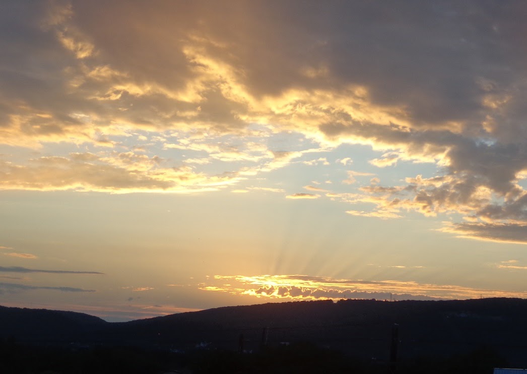
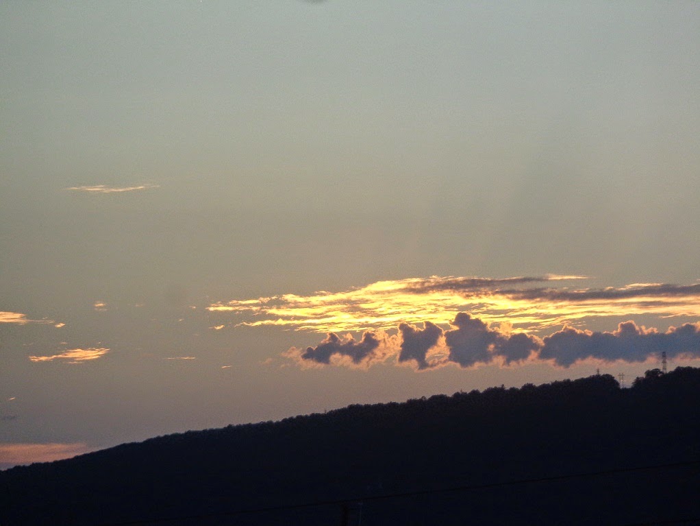
 ** Beautiful snow (even if we've had TOO MUCH of it this year) **

3rd photo below is the mountain range view,
but from the other end of town, at a higher elevation.


Here's the mountain range. 
The arrow below, indicates that dip in the range we've seen often in my mountain photos. It's where the Cross Valley Expressway (Rte 309) cuts through, connecting the "Back Mountain" (Dallas, Trucksville, etc.) with Kingston (parts seen below) on the far side of the Susquehanna River. Can't see the river here.
You  see  a bit of the corner of the city of Wilkes-Barre, close to us.
(((I posted a map in an earlier post)))

A couple of winter snow shots.
PRETTY nice if I say so myself.

This is on the turnpike. I-476 
A typical scene, where the highways (and many other roads) cut through the rocky mountains,
creating interesting patterns, and lovely contrast when there's snow.


Tuesday, December 10, 2013

Winter sunset

We only got light snow in the #Wilkes-Barre, PA area Wyoming Valley#nepa this  afternoon (predicted 1-3"). Now it's breezy and the temps are dropping to the teens tonight, and a predicted high of only 26 (yikes!) tomorrow. But what a beautiful #sunset outside just a few minutes ago! 

Look how far over the sunset moved to the left!
During the Summer, the sun used to set all the way over in that dip in the mountains to the far right. That's where rte 309, the Cross Valley Expressway, cuts North towards Dallas, PA after it crossed the Susquehanna river. You can't tell here, but the altitude is much higher there - quite a climb up and through the mountains.

Monday, December 9, 2013

Winter in NEPA

Late November is when we started to get seasonal snow. Here are a few shots, all 3 a little North of the My Mountain location in Wilkes-Barre area.

First, here's a view I shared in an earlier post. Same viewpoint, different time of year.
Still beautiful. Here, its quiet calm serene, with a light snow, late November.


 Energetic cheery red berries - kind of an abstract of color.

This is a tree that my father planted many many years ago.
We call it "The Dedo Tree"
(Dedo is 1 way of saying grandfather in Croatian.)
The cool visual cacophony of this composition would have been his style :o) 

Wednesday, August 14, 2013

MAP

Here's a google map showing the location.
The Susquehanna River runs approximately parallel to Route 11 from the town of Plains up to Pittston; it's to the right of Rt 11 and looks green in this view. The mountain range in this blog is the green area, with not many signs of habitation,  further to the left of Rt 11, and the Francis Slocum State Park is on the other side of the ridge, on the "back-side" of the mountain view I see.  The cities & towns all along the river make up  the Wyoming Valley. Pa. USA We're seeing the mountains from the east side of the river, just north of Wilkes-Barre in Plains.
Many locations, etc., in NEPA, this area of Pennsylvania are derived from original Native American words. Here's a quote from Wikipedia: "The Susquehannock people were Iroquoian-speaking Native Americans who lived in areas adjacent to the Susquehanna River and its tributaries from the southern part of what is now New York, through Pennsylvania."


View Larger Map